Analysis for the Agricultural Study of Sugarcane Commodities on Papua Island
Keywords:
Geographic Information System (GIS), Land Suitability, Papua Island, Sugarcane (Saccharum officinarum), Weighted Overlay AnalysisAbstract
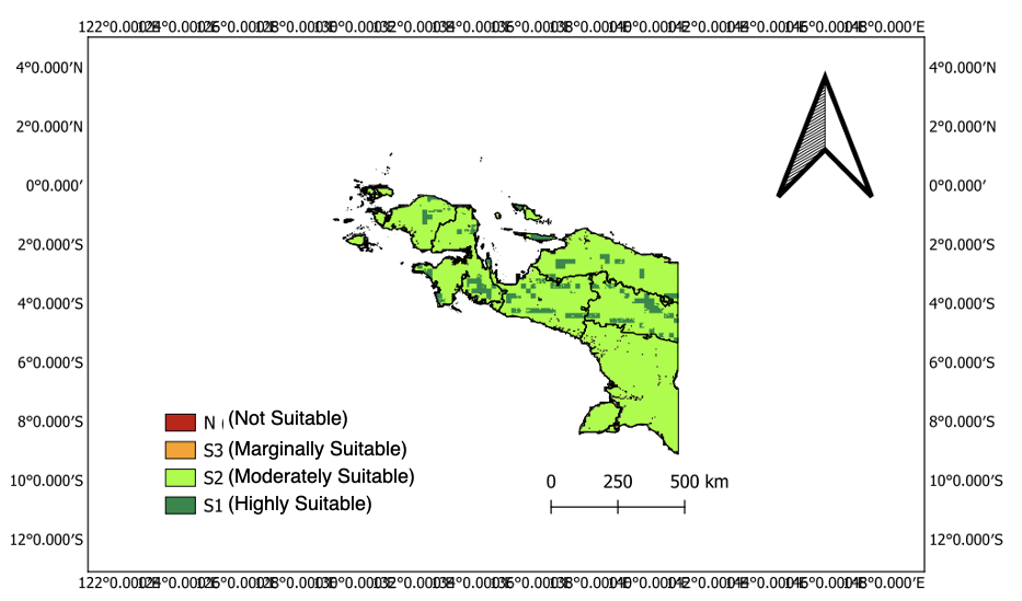
The cultivation of sugarcane (Saccharum officinarum) as a feedstock for the national sugar industry necessitates an extensive site suitability assessment, especially in prospective areas like Papua Island. This study intends to evaluate the land suitability for sugarcane cultivation on Papua Island through a Geographic Information System (GIS) methodology that incorporates meteorological and environmental data. The investigated factors are rainfall, average air temperature, solar radiation, and soil pH, sourced from global medium-resolution databases. The investigation was performed using raster data processing, land suitability categorization, and spatial mapping utilizing QGIS software. The findings demonstrate that certain lowland regions of Papua possess moderate to high suitability for sugarcane cultivation, especially in areas characterized by substantial annual precipitation and sufficient sun radiation. This research aims to establish a scientific foundation for the sustainable agricultural growth of sugarcane on Papua Island.
Downloads
Published
How to Cite
Issue
Section
License
Copyright (c) 2026 A. Nauval Dzakwan Wahyudi, Berlin Happy W. Christi, Enggaltius Kristian, Tanisha Qistimaila

This work is licensed under a Creative Commons Attribution-NonCommercial 4.0 International License.