Mapping Land Suitability for Oil Palm Cultivation in Papua Using Geographic Information Systems
Keywords:
Land Suitability, Elaeis guneensis, Oil Palm, PapuaAbstract
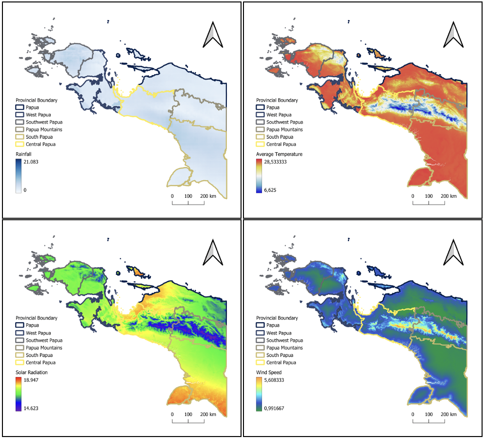
Land suitability analysis is essential to support sustainable oil palm cultivation and minimize environmental risks caused by inappropriate land use. This study aimed to evaluate land suitability for oil palm cultivation in Indonesia using a Geographic Information System (GIS)-based multi-criteria evaluation (MCE) approach. Spatial datasets related to climate, topography, and soil characteristics were obtained from open-source data providers, including WorldClim, CHIRPS, SoilGrids, and Indonesia Geospatial. The parameters used in this study included mean temperature, rainfall, wind speed, solar radiation, elevation, soil texture, soil pH, and organic carbon content. Datasets were processed and analyzed using QGIS through several stages, including data pre-processing, parameter reclassification based on oil palm growth requirements, weighting of parameters, and raster-based spatial overlay analysis. The resulting suitability index was classified into four land suitability classes: highly suitable (S1), moderately suitable (S2), marginally suitable (S3), and not suitable (N). Results of this study were presented in the form of thematic maps and a final land suitability map for oil palm cultivation, along with area statistics for each suitability class. This study demonstrates that GIS-based multi-criteria analysis is an effective tool for land suitability assessment and can support spatial planning and decision-making for sustainable oil palm development.
Downloads
Published
How to Cite
Issue
Section
License
Copyright (c) 2026 Faiq Khoerul Umam, Muhammad Arya Nurzabal, Sultan Aziz, Zammy Rivaldo

This work is licensed under a Creative Commons Attribution-NonCommercial 4.0 International License.